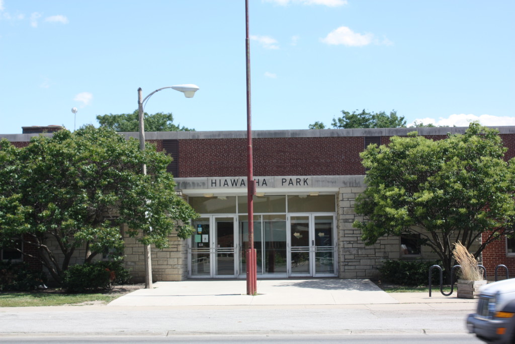
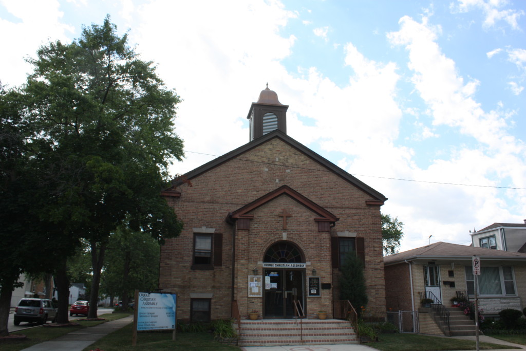
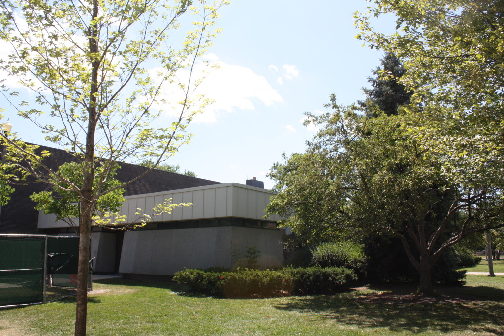
These are notes, maps, photos and photo albums of the Tour of Dunning and Montclare. The order of the history of the area and its buildings unfolds as it would on the route. Buildings or sections that are not visited on the tour are told as close as possible to the nearest spots on the tour. Below is the Garmin map of the tour when originally held on August 8, 2015.
Dunning is community area #17 and sits 10 miles northwest of the Loop. It is surrounded by a variety of northwest side community areas and neighborhoods of Chicago and several near west suburbs. Dunning shares borders with the suburbs of Norridge, Harwood Heights, River Grove, Elmwood Park and Franklin Park and the community areas of Montclare, Belmont Cragin and Portage Park. The community began with the purpose of being the location of a poor farm or almhouse and insane asylum for Cook County. In 1851, this area was mostly prairie lands when Cook County purchased 160 acres from Peter Ludby between present day Irving Park and Montrose and between Narragansett and Oak Park.
Below are the communities and suburbs that surround Dunning and Montclare.
The area is named for Andrew Dunning who himself purchased 120 acres near what was commonly called Dunning Hospital. He began a nursery and set aside acres to sell to others, which proved difficult with its proximity to the insane asylum and almshouse or almhouse. The area had such a bad reputation that local parents used to warn misbehaving children to be careful, or they were going to Dunning. The area had few access options and the nearest train stop was two and a half miles away until 1882. This is when the Dunning station opened on a new track with the train everyone soon referred to as the “crazy train”. (Cue Randy Rhoads…two, three, four…)
One of the few businesses that didn’t mind the proximity to the asylum were cemeteries and they abound in the area. Cemeteries directly along the tour include Mt. Olive, Mt. Mayriv and Rosemont Park, but also in the area are many others including Irving Park Cemetery north of us at Irving Park Road and across the street from Acacia Park Cemetery in adjacent Norridge IL, where Sears and Roebuck co-founder Alva Curtis Roebuck, journalist Mike Royko, baseball player Urban C. “Red” Faber and actress Audre Joan Knecht are buried. Acacia is just south of Westlawn Cemetery as well as St. Joseph’s Cemetery in adjacent River Grove just on the other side of the Des Plaines River, south of Belmont. That is the burial site of George Babyface Nelson and his wife Helen as well as numerous famous circus performers of the day, major league baseball players Emil Kush and Thomas James “Long Tom” Hughes and Robert Lewis May, the animator of Rudolph the Red Nosed Reindeer movie of 1944.
In 1886, the Scandinavian Lutheran Cemetery Association established Mount Olive Cemetery. South of there, a Jewish community cemetery, Mount Mayriv opened between Mt. Olive and Addison. This is the resting place of Dankmar Adler, who was the engineer partner of Louis Sullivan and his monument in Mount Mayriv is a column taken from Adler and Sullivan’s Opera House. The 1920s Schoenstadt Mausoleum is on the west side of Mount Mayriv near Rosemont Cemetery. In addition, between Rosemont Cemetery and Mount Mayriv, commonly making up the Zion Gardens Cemetery, is also the resting place for Community organizer Saul Alinksy, actor and producer Burton Kaiser and pro boxer Barney Ross.
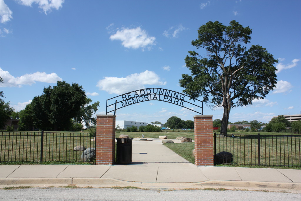
The tour passes just next to Read Dunning Memorial Park, where many bodies buried around Dunning in the late 19th and early century were relocated as they were unearthed during development of the area and its homes, infrastructure and businesses. These bodies are largely former residents, patients and inmates of the mental asylum and almshouse that came to be known as Dunning, but also executed criminals and prisoners that died in custody, loved ones that couldn’t pay their burial fees and even relocated graves from the Chicago City Cemetery, moved in order to construct Lincoln Park. The hospital is largely inaccessible now while construction is under way on Oak Park Avenue. Much of the area under construction sits over a potter’s field for the project along Oak Park Avenue between Irving and Forest Preserve Drive and the possibility that more remains will be encountered is hardly remote.
One of the first businesses to succeed in the area was opened around the turn of the century by Henry Kolze, who inherited a tavern around Irving Park and Narragansett. He developed the area around it into a picnic grove and began to attract families coming for funerals at some of the area cemeteries. As the area expanded its population, and as the Irving Park Boulevard Street Railway opened, Kolze’s Grove became a popular destination spot and other similar businesses copied the model. The area is currently occupied by Merrimac Park.
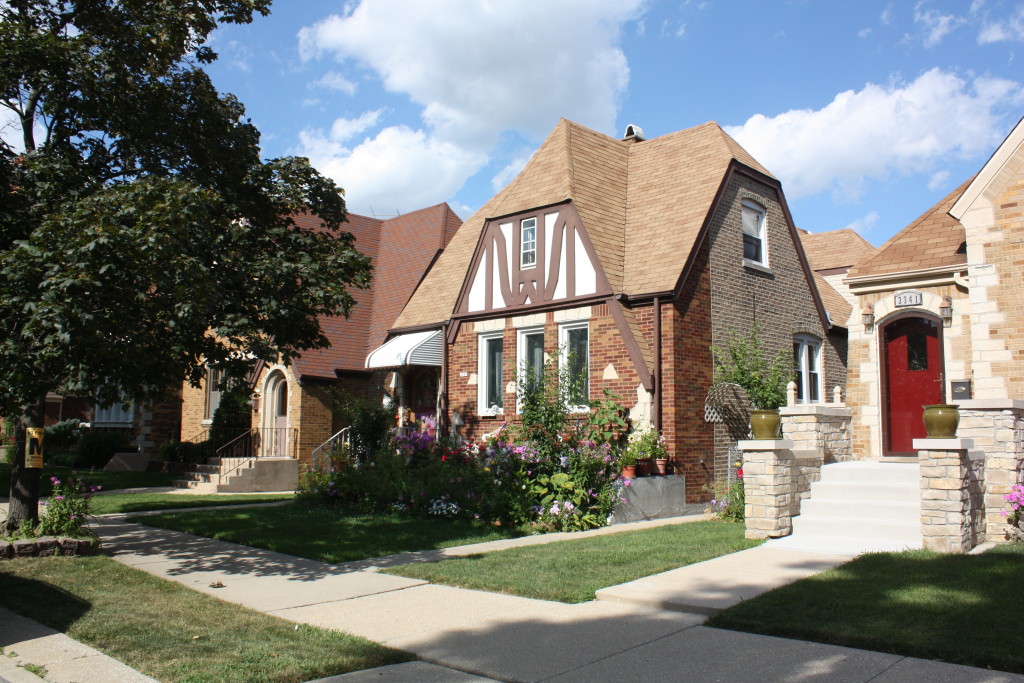
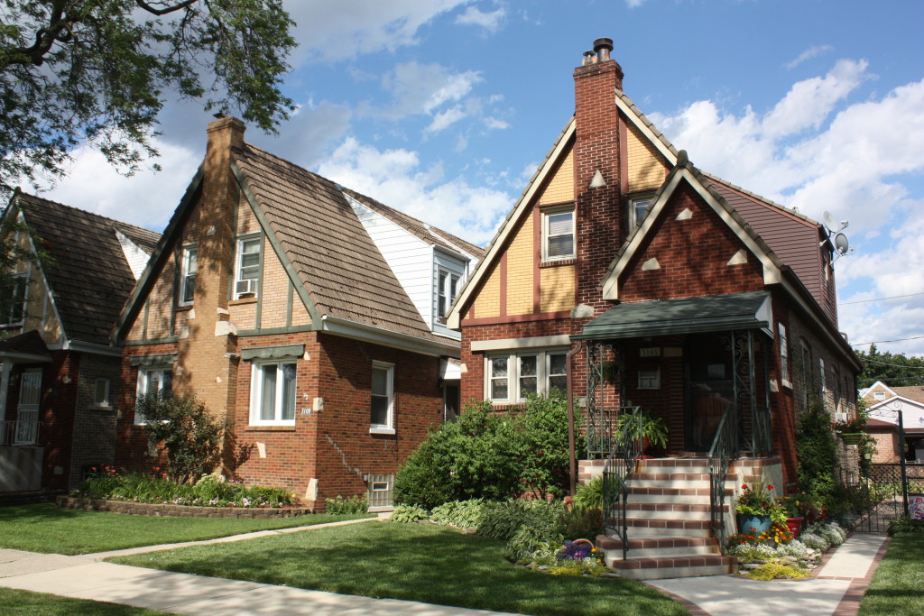
Meanwhile, the area had a modest population of over a thousand for the later part of the 18th and beginning of the 19th century. Few people wanted to locate near the asylum or the hospital that followed or by an overabundance of cemeteries. In 1916, the Schorsch Brothers bought a tract of land and began to develop the area. They originally named it West Portage Park, to distance themselves from the association people had with Dunning. They built smart, practical yet artful Tudor homes that are highly stylized versions of what we know as the Chicago Cape Cod. The start of this tour in Shabbona Park is located directly in Schorsch Village, named for the developers. Schorsch Village stretches from Narraganset to Harlem and from Belmont to Addison, though the most grand examples of their homes are located on Oak Park Blvd, the central north-south artery of the neighborhood.
In addition to Schorsch Village, Dunning has three other main neighborhoods, namely
- Belmont Heights – Irving to Belmont and Pacific to Harlem
- Belmont Terrace – Belmont to Addison and Pacific to Cumberland
- Irving Woods – Bounded by Montrose on the north, Westlawn, Acacia Park and Irving Park Cemeteries on the east and Belmont on the south.
Below are the community areas of Dunning and Montclare, along with the neighborhoods of Belmont Heights, Schorsch Village, Irving Woods, Belmont Terrace and adjacent Galewood.
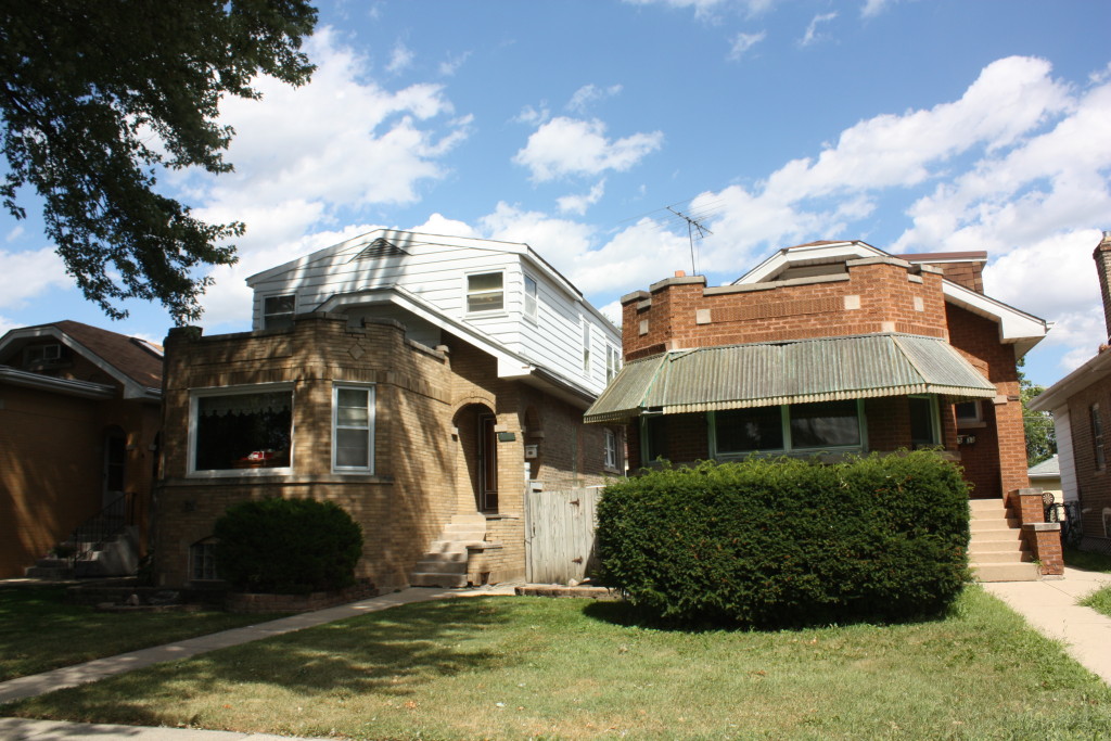
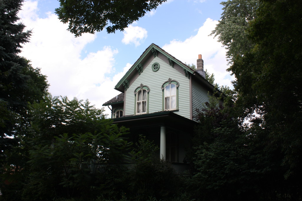
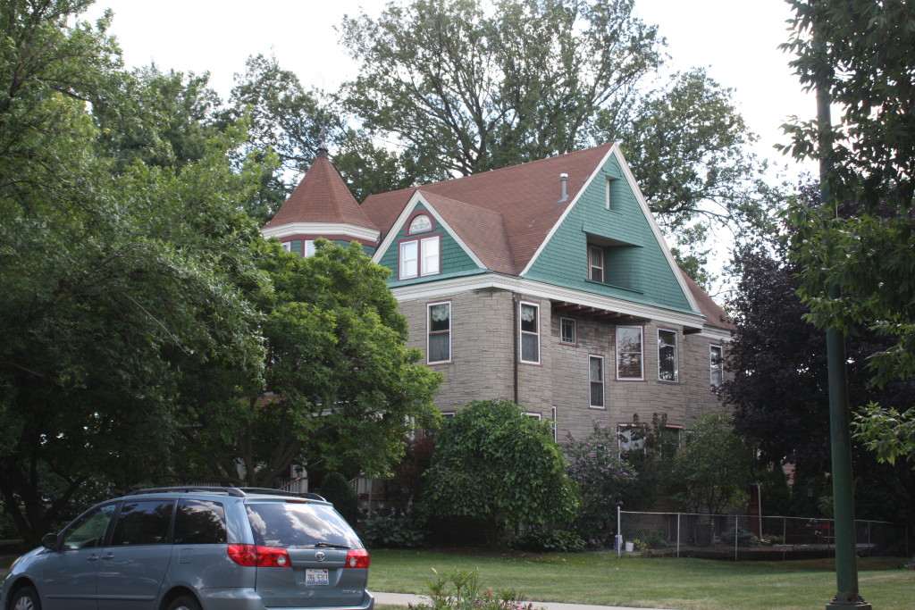
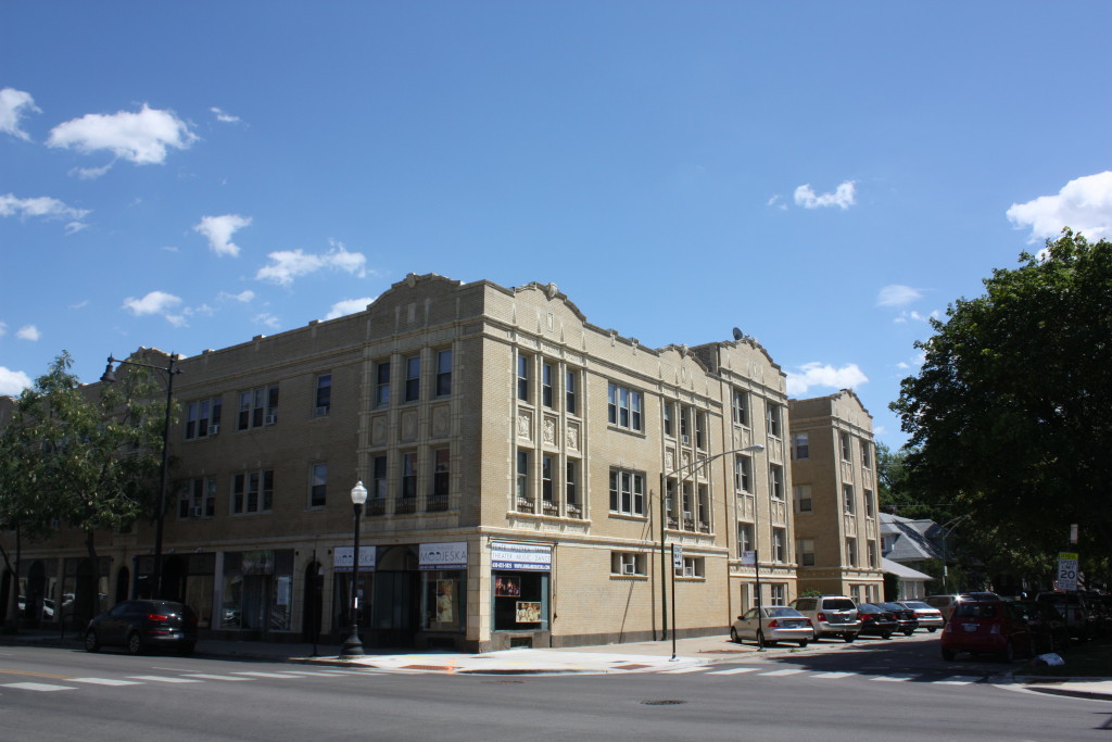
Simplified Cape Cods also adorn the streets of both Dunning and Montclare. Along with Chicago Bungalows, Dutch Colonials, Worker’s Cottages, there are a smattering of Classical, Craftsman and Victorian homes. These homes are often found in groups, and occasionally, Dunning and Montclare blocks exhibit some interesting variations of classic forms, sometimes solo, but more often in small clusters. These include squashed up tiny Chicago bungalows with no front entrance, Chicago Cape Cods with portions of their front gable clipped into a faux-hipped roof, craftsman bungalows with classical columns and Dutch Colonials with gambrel roofs that fold into a hipped roof at the front. A large portion of the tour is designed to take you through a few of the more special blocks, even if the homes themselves lack sufficient information to convey such as build years, architects, and history of the owners. So many of the homes in the area where developer controlled spec homes, sometimes customized and sold in advance of build, but just as often sold as is. After the influx of GIs and Swedish, German and Polish immigrants to fill the homes at the end of the first World War, the population rose to over 4,000 residents and today it has some 40,000.
Schorsch Village homes on N Oark Park 1
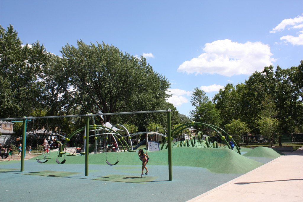
Shabbona Park
6935 W Addison Street
Albert A. Schwartz, 102-s
Shabbona Park is not just the highlight park for the neighborhood of Schorsch Village, but for Dunning itself. It is 18 acres on a wide swath of land for a neighborhood park, though it pales in comparison to Riis Park in adjacent Belmont-Cragin or Portage Park in adjacent Portage Park. It is named for a Potawatomi chief who reportedly warned the settlers of an attack by another Nation.
Schorsch Village
This neighborhood extends from Addison to Belmont and from Narragansett to Harlem and is where we are currently located, but since the best stuff is at the end of the tour, we’ll talk about it when we can witness the best examples towards the end of the tour.
The tour itself is slightly over 13 miles. Here is the route:
Below is a map of the places of interest seen on the tour.
Finally, below is the entire Google Map with all of the layers to explore places we saw, ones we missed, the route, neighborhoods, community areas, surrounding areas and all things Dunning and Montclare.
Belmont Heights
The neighborhood from Irving Park to Belmont and Pacific to Harlem.
Norridge, IL
The northside of Irving Park is Norridge from Harlem north to Irving Park, then Schiller Park. This area was almost annexed by Chicago in 1947, but has stayed an independent suburb surrounded by Chicago and other suburbs, including its immediate neighbor, Harwood Heights who has the same situation. The name comes from the combination of Norwood Park and Park Ridge, a community and suburb that it borders. The area was largely farmland from the 1830s until the turn of the century, and particularly after 1920 with post-war population growth. The Harlem Irving Plaza is the most commonly visited site in the area, but while it does have a large mix of commercial, it is still largely a residential community.
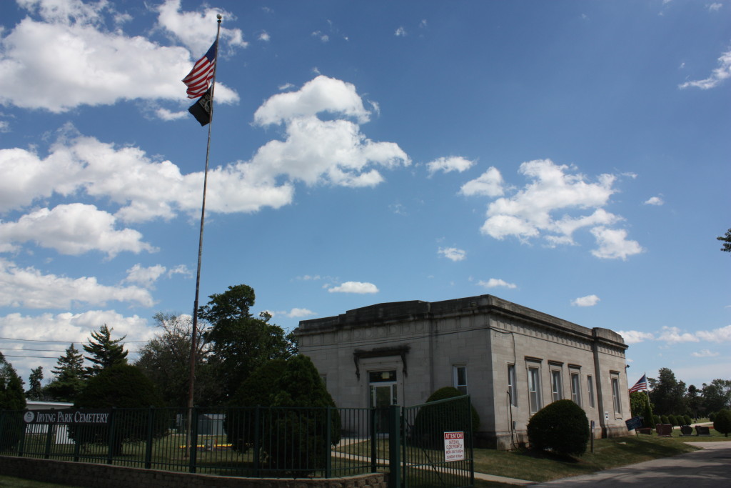
Irving Park Cemetery
7777 W Irving Park Road
Main gate and Gatehouse, 1930s
Irving Park Cemetery was built in 1917 and is the final resting place for four of the seven victims of the St. Valentine’s Day Massacre, namely Fred Goetz, Frank and Peter Gusenberg and Albert Kachellek, henchmen for Bugs Moran gang that met their end in a Lincoln Park garage on February 14, 1929.
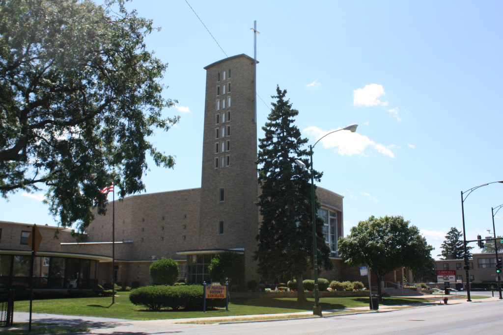
St. Francis-Borgia
3535 N Panama
Arthur E. Canty Elementary School
3740 N Panama
Des Plaines River Trail
The Des Plaines River is the longest stream in the Chicago region. It combines with the Kankakee River to form the Illinois River, a significant Mississippi River tributary. It was a principal transit for Native Americans of the area and was followed from the Mississippi to the Illinois to the Des Plaines by Marquette and Joliet in 1673. It is today a principal water route of the western part of the Chicago region. The area between the Des Plaines River and the Chicago River was long known as the Chicago Portage and was wetlands to port boats between the rivers. Due to wild over-expansion and development of the area, and a complete alteration of run-off into and out of the river and the reversal of the Chicago River, it is prone to flooding areas that have always been wetlands, even before development worsened the problem.
Franklin Park
West of Des Plaines River north of Belmont. The Village of Franklin Park has a population of roughly 20,000 residents. It is named for Lesser Franklin, a real estate broker who settled here in the 1890s and developed the area. The area’s early settled history begins in 1840 when it was used for farming like most of the west side of Chicago and near west suburbs.
River Grove
West of 80th Avenue (≈ Pacific) and south of Belmont. Over half of the village of over 10,000 people is open space, river area and forests in the land that was once the land of the Potawatomi Nation. In 1829, the Treaty of Prairie du Chien granted land along the Des Plaines River to Claude La Framboise. He sold half to his sister and half to Jesse Walker in area that is now River Grove.
Dunning Library
7455 W Cornelia
William E Dever Elementary
3436 N Osceola
Elmwood Park, IL
South of Wellingon and west of Harlem. This village of over 25,000 sits along the banks of the Des Plaines River and was once an area where Native Americans camped, settled and traversed. It was first settled in modern history in the 1840s by farmers who called the area Orison. In the 1870s, the rail road came and the development history was laid when the tracks were. As it became more accessible, it became more attractive for developers who bought and subdivided the land and created this immediate near west neighbor to Chicago.
MONTCLARE
Montclare community area is #18, just south of Dunning and sits 9 miles northwest of the Loop. It is named for its depot, which the Chicago and Pacific Railroad Company had named Montclare after Montclaire, NJ. It stretches from Belmont south to the Milwaukee District West line and from Narragansett to Harlem. There are three Metra stops along the MD-W line, the Montclare at Nordica, the Mars at Oak Park by the Mars Factory and the Galewood at Narragansett. The area has a population of over 13,000, so it is a much smaller neighbor to Dunning’s 40,000 plus residents.
90 acres of what now makes up Montclare began its modern history when William Sayre claimed the land through right of possession in 1836. It took him two additional years to settle outstanding items and pay for the land in an agreement with Jefferson Township. He married Harriet Lovett the following year for the town’s first marriage. He sold some land to neighbors and they farmed the area primarily with corn and oats. In 1872, the Chicago and Pacific Railroad company opened a stop named for Sayre, and the line was then taken over by the Chicago, Milwaukee and St. Paul Railroad, limiting traffic to one train a day, hardly enough to create a large demand for population growth, and for many years, what today is Montclare remained a farming community. In 1912, the Grand Avenue streetcar spurred development and people began to move to the area, and as infrastructure improvements were made, by 1920, the area started to thrive and develop a reputation as a good place to build and live. This followed with a boom of single family residential development, largely of bungalows, making the area a prime swath of Chicago’s Bungalow Belt.
Norwegian Lutheran Home
2833 N Nordica
Swablad and Carlson, 1920s
Norwegian Lutheran Home 4
Galewood-Mont Clare Library
6871 West Belden Avenue
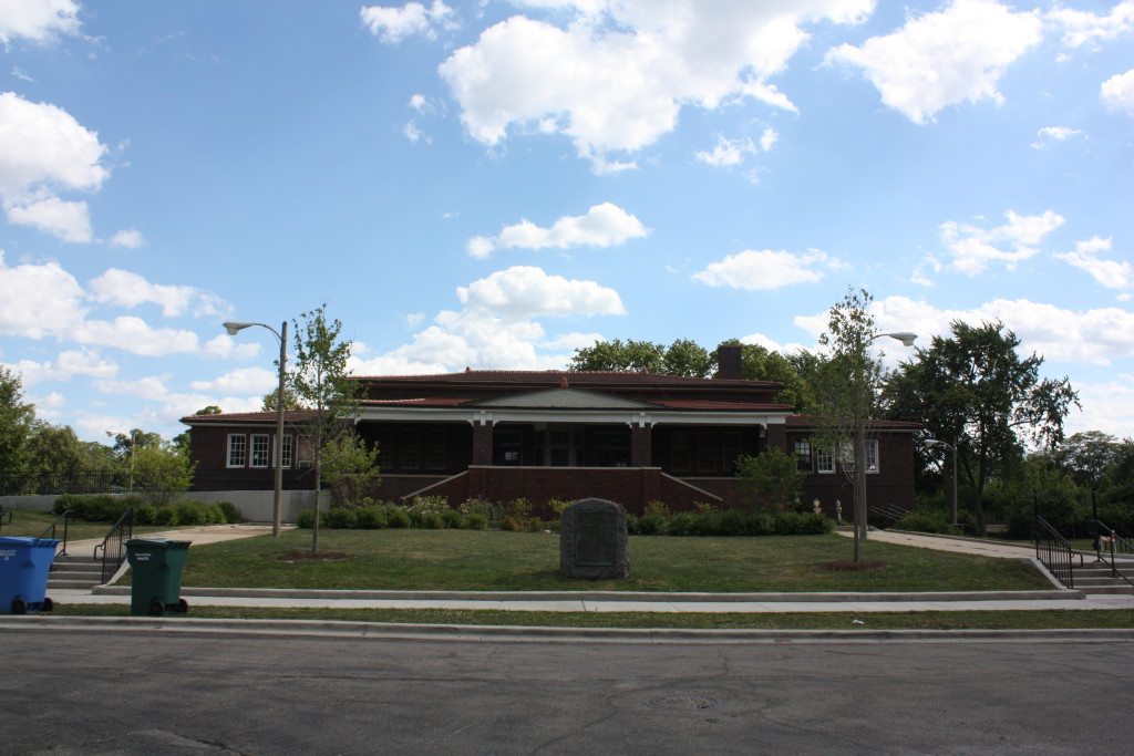
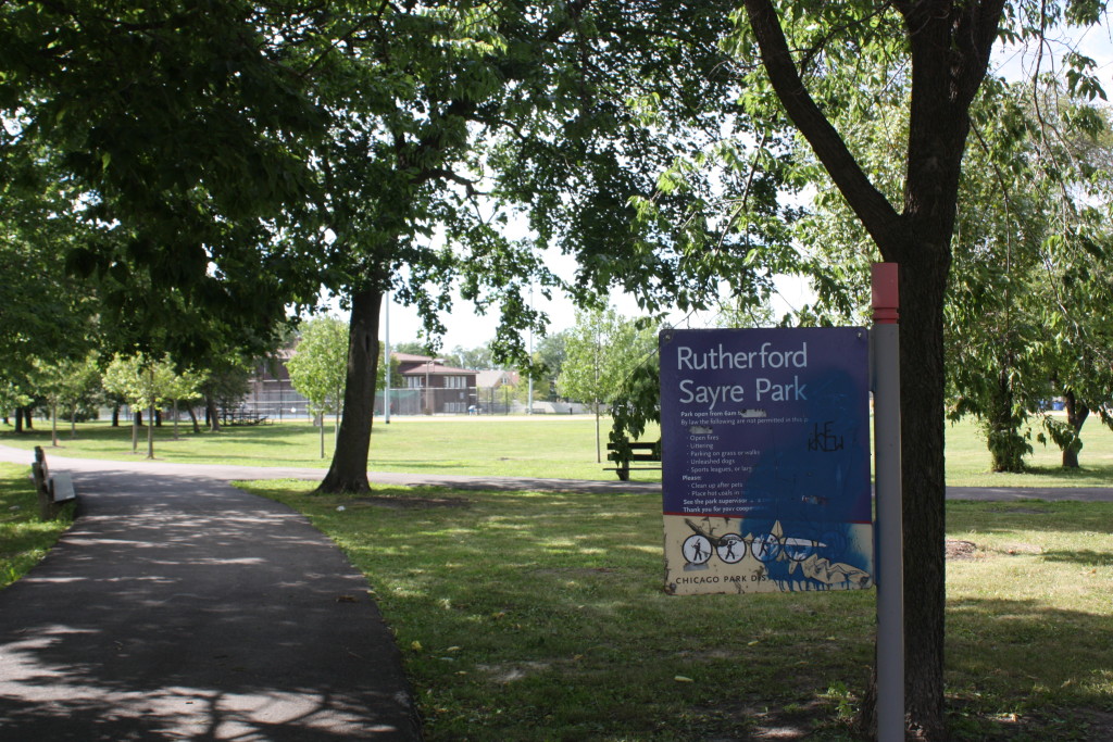
Rutherford Sayre Park
6871 W Belden
Named for the city’s founder, and earliest squatter, William Sayre, this park features a 1910s fieldhouse designed by William C. Jones which became Galewood-MontClare Library.
Galewood
The neighborhood south of Dunning in Austin Community area is Galewood. Boundaries are North to Metra MD-W and Austin to Harlem.
Mars Factory
2019 N Oak Park
The stunning 1928 Mission style Factory is one of the most amazing architectural structures of any factory in America. The beautiful façade essentially shields a largely nondescript factory behind it, capable of headquartering the 6th largest privately held company in the United States. When it was built and for years afterwards, it was an inspiration for many other candy makers to match the magnificence of the presence and appearance that the Mars factory had and its beauty was commonly reported in newspapers of the day, including a glowing article soon after its completion by the Chicago Tribune. In addition to the brilliant façade, the factory is known as one of the best stops in Chicago on Halloween night. Beginning at 2:30 on Halloween, the factory has multiple workers dress up to give away numerous amounts of full sized candy bars for the neighborhood and people literally line around the block. You must wear a costume and service ends at sundown.
Josephine Carson Locke Elementary School
2828 N Oak Park
Located just south of Bell Park, Josephine Carson Locke Elementary School was named for the progressive educator in 1927. This would have put the building under the design or supervision of John C. Christensen, CPS architect from 1921 to 1924 and from 1926 to 1928. Christensen was a Danish immigrant and began work for CPS as a clerk under Dwight Perkins in 1906 and later an assistant architect under Arthur Hussander. He was first appointed as chief architect in 1921, but after restructuring, he was made head of the newly created Architecture Bureau under CPS Supervisory Architect Edgar Martin, who resigned in 1926, at which point Christensen again became the chief architect. He then worked, UNDER Paul Gerhardt from 1928 until 1931, before he was again made chief architect in 1931, a post he then held until 1959.
Josephine Carson Locke was an Irish immigrant who became a brilliant art educator and supervisor of art in the public schools and later the curator for the Art Institute of Chicago. Above the northeast door is a carved quotation, “Art Needs No Spur Beyond Itself” exemplifying her teachings. She was a champion of free-expression and an early advocate for kindergartens.
Josephine Carson Locke Elementary 2
Belmont-Cragin
Adjacent to this point is the Community Area of Belmont-Cragin, south of Belmont below Dunning and east of Montclare. We will skirt across its borders for Charles P. Steinmetz College Prep.
Charles P Steinmetz College Prep
3030 N Mobile (3000-3058 N Melvina)
Appointed as head architect for the Chicago Public Schools in 1928, Paul Gerhardt Sr. was a German immigrant, born in 1863. He came to the US in 1890 to design mills for the German Textile Corporation. He relocated to Chicago in 1893, becoming a US citizen in 1895. In Chicago, he designed many commercial buildings including factories, warehouses and hotels. He was Cook County’s chief architect from 1910 to 1913. His work for CPS included Von Steuben, Lane Tech, Amundsen, Parker and DuSable schools, and amongst his most noteworthy, Charles P. Steinmetz College Prep. He is also the designer of many commercial buildings in his private practice and of the next school on our tour, Wilbur Wright Junior College.
Wilbur Wright Junior College
3400 N Austin
Built in 1930 by Paul Gerhardt in a Gothic Revival style and operated as a junior high school for three years until it became Wilbur Wright Junior College in 1934. The school would go on to become Wilbur Wright College and is now located at a facility at Montrose and Narragansett coming up soon on the tour. From 1941 to 1946, the building was taken over by the US Navy for training. This building now houses Chicago Academy High School, opening in 2004 with its first graduating class in 2008. It was named to honor the Wright Brothers, particularly Wilbur Wright who died before his brother Orville. At the time, CPS would only name schools after deceased individuals and in 1934 when the school was named, the 1933-1934 World’s Fair was being held in Chicago with the theme of celebrating flight.
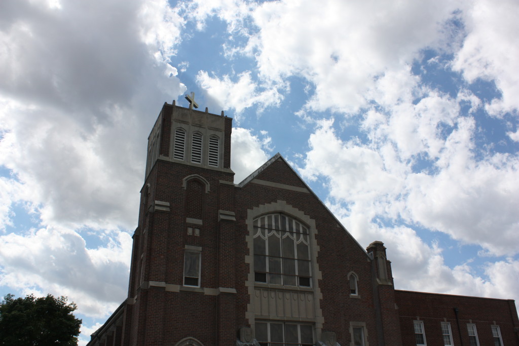
Messiah Lutheran Church
6201 W Patterson Av
A. Thorp Scholastic Academy
6024 W Warwick
Arthur F. Hussander, 1900s
Ole Anton Thorp was a Normegian immigrant who came to Chicago in 1879, founding an import-export business, which was the first to offer direct shipments between Chicago and Europe. The school was originally located in the Lincoln Square Community at 2701 W Foster and Thorp operated there from its opening in 1905 until 1914. The Lincoln Square school building became Lyman Budlong Elementary School and Thorp opened here in 1918 in this Arthur Hussander designed school.
Arthur F. Hussander was the son of Scandinavian immigrants and was born in 1865 in Chicago. After receiving an architecture degree from Cornell University, by 1900 he was working for the Chicago Board of Education where he became the chief architect from 1910 through 1920, succeeding his three prior bosses, William B. Mundie, Robert Williamson and Dwight Perkins. He produced the designs of over 60 schools and contributed addition and work to another 40 more. Like his predecessor, he believed in windows in every classroom and elevated basements that would let in light through larger windows. In addition to Thorp, some of his more famous works include Senn High School, Pope, Parkside, Bell and Riis schools. Unlike Perkins, Hussander’s style was strictly Classically inspired.
West Irving State Bank
6001 W Irving Park
Axel V. Teisen, 1900s
Patio Theater
6008 W Irving Park Road
This elaborate theatre was designed by Rudolph G. Wolff who also designed the since demolished DuPage Theatre. It opened in 1927 and is built in what has been described as an “Atmospheric style” complete with the moving clouds common to some theatres of this style and era.
6032 W Irving Park/4004-4010 N McVicker
6032 W Irving Park Rd & 4004-4010 N McVicker 1
6057 W Irving Park
St Pascal
3935 N Melvina Avenue
This is the third church for St. Pascal’s parish, featuring a 116 foot bell tower was designed in a Moorish style by Raymond J. Gregori and built in 1930, opening for Christmas Mass in 1931.
Merrimac Park
6343 W Irving Park
Merrimac Park is the land that formerly held Kolze’s Grove. One of the first businesses to succeed in the area was opened around the turn of the century by Henry Kolze, who inherited a tavern around Irving Park and Narragansett. He developed the area around it into a picnic grove and began to attract families coming for funerals at some of the area cemeteries, but also as the area expanded its population, and as the Irving Park Boulevard Street Railway opened, Kolze’s Grove became a popular destination spot and other similar businesses copied the model.
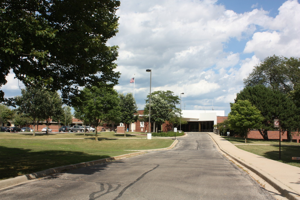
Wilbur Wright College
4300 N Narragansett
Wilbur Wright College moved to its current location in 1993 in a five building campus designed by Bertrand Goldberg, also the celebrated architect of the Marina Towers, Marina City and the recently razed Prentice Women’s Hospital. There are over 770 trees on the small City College campus, and it is designated a Tree City USA site by the Arbor Day Foundation. It is also the City College’s hub for Information Technology programs.
Harwood Heights, IL
The north side of Forest Preserve Drive is Harwood Heights until Harlem. Like its neighbor Norridge, it is often thought of as part of the city, and other than Norridge, is bordered on all other sides by the city of Chicago and like Norridge, was also NOT annexed by the city in 1947. It shares a library, school and park district with Norridge and saves money on services with this partnership. The area was first settled by Israel Smith who erected a cabin on what was known as Union Ridge, the present site of the Ridgemoor Country Club.
Eli’s Cheescake Company
6701 W Forest Preserve Drive
Chicago State Hospital
Now Chicago-Read Mental Health Center
6810 W Irving Park
The current Chicago-Read Mental Health Center is the former Cook County Insane Asylum. In 1851, this area was mostly prairie lands when they purchased 160 acres of land from Peter Ludby between present day Irving Park to Montrose and between Narragansett and Oak Park.
Originally, there were poor families that lived with their families using the land to farm, living and working and attending school on the same premises as the insane asylum. Over the years, the number of buildings grew and others were admitted, including a separate tuberculosis facility. This was the only place in all of Cook County specifically designed as long-term refuge for its most destitute individuals.
By 1886, the place was in terrible shape and severely overcrowded. Reporters of the day called it inhuman and uninhabitable. A lack of even basic needs like water, heat and poor ventilation contributed to many patient and inmate deaths and a hodge-podge of poorly built buildings dotted the area with all manner of problems. An investigation revealed terrible mismanagement and criminal behavior by administrators. Most of the hires were political patronage jobs and the corruption was deep rooted, while the facility was later deemed to have been overcrowded at 200% of its upper-limit capacity. Rather than being the end of the story, the Almshouse in its various forms seemed to repeat this scandal in subsequent decades with waves of patronage and mistreatment scandals gripping the public institution ever 10 to 15 years.
In 1910 the poor farm was moved to Oak Park and two years later, the state purchased the facility for $1 and it became Chicago State Hospital, though for most it would still be referred to and known as Dunning. Plans exist for a possible Veterans Administration Hospital and all of the area is currently being upgraded to feature normal streets with sidewalks, curbs and gutters, all of which were absent from this stretch of Oak Park before this project.
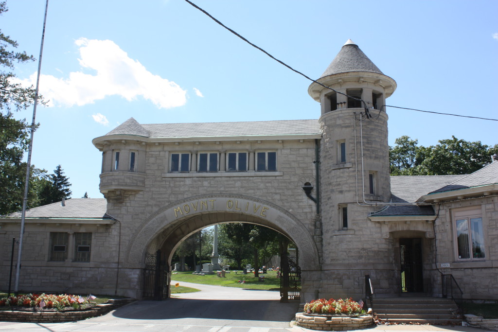
Mount Olive Cemetery
3800 N Narragansett Avenue,
This is the buriel site of swimming champion Sybil Bauer and US Congressman Niels Juul Sr. The cemetery was established in 1889 as a Scandinavian Cemetery. The Charles Thisslew designed Archway at the main entrance also serves as the Gatehouse. There is a large Veteran’s section of the cemetery and the bell in the tower of the Gatehouse is rung at each internment. There is also a Lady of Guadalupe feature for Catholic families in the western section of the cemetery.
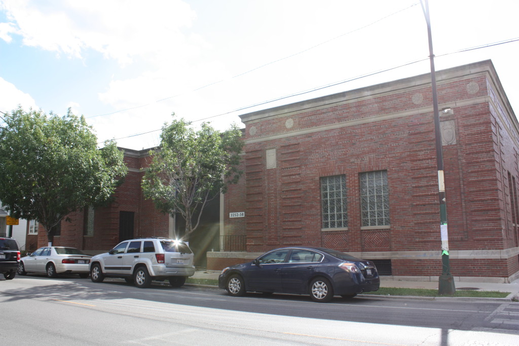
3250 N Narragansett
Herman V. Von Holst
Odd as it might seem, an architect made quite a name for himself designing buildings for utilities, and utilitarian uses. Herman V. Von Holst was such an architect, having received commissions to design several power stations such as this one for Commonwealth Edison. He also designed buildings for People’s Gas, to introduce people to gas appliances, and a series of train stations. Von Holst typically utilizes a pure Prairie school design, but this Classical building dates to the late 1930s.
Schorsch Village (repeated from front)
Addison to Belmont/Narragansett to Harlem
Tour of Dunning and Montclare Handout

